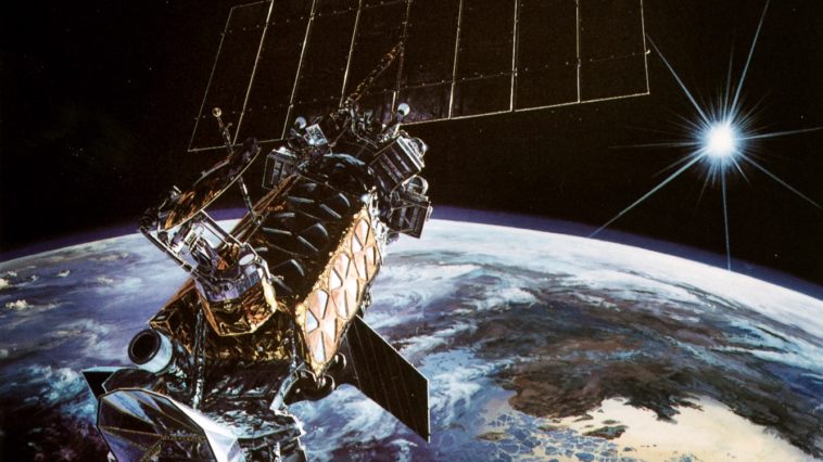
By Mike Killian, on March 7th, 2017
The Geostationary Lightning Mapper, built by Lockheed Martin, now tracks lightning strikes across North and South America, giving new insight into storm development and delivering faster severe weather alerts. (Image courtesy of NOAA)
This week NASA and the National Oceanic and Atmospheric Administration (NOAA) released the first images from the Geostationary Lightning Mapper […]
Like this:Like Loading...
By Paul Scott Anderson, on October 24th, 2015
When NASA-NOAA’s Suomi NPP satellite passed over Patricia on October 23 at 5:20 a.m. EDT the VIIRS instrument that flies aboard Suomi NPP looked at the storm in infrared light. Cloud top temperatures of thunderstorms around the eyewall were between 180K (-135.7F/ -93.1C) and 190 Kelvin (-117.7F/ -83.1C).Image Credit: UW/CIMSS/William Straka III
As […]
Like this:Like Loading...
By Craig Covault, on July 26th, 2015
DMSP Air Force weather satellite is depicted in polar orbit near Alaska. Image Credit: Lockheed Martin
A U.S. Air Force review into the Feb. 3 loss of Defense Meteorological Satellite Program (DMSP) Flight 13 determined a failure of the spacecraft’s battery charger as the likely cause of the satellite’s failure and structural breakup.
[…]
Like this:Like Loading...
By Mike Killian, on January 14th, 2015 The GOES-R Advanced Baseline Imager (ABI) is installed onto the GOES-R spacecraft at Lockheed Martin in Littleton, Colo., on Oct. 13, 2014. Photo Credit: Lockheed Martin
The next in a fleet of United States’ geostationary weather satellites, tasked with providing continuous imagery and atmospheric measurements of Earth’s Western Hemisphere, is now one big […]
Like this:Like Loading...
By Mark Usciak, on September 9th, 2013 How does NASA keep an eye on hurricanes that threaten the U.S.? Via high-tech “Hawks” circling high overhead! Photo Credit: Mark Usciak / AmericaSpace
I was given the opportunity to visit one of the hangars at Wallops Flight Facility (WFF) to review NASA’s Global Hawk Unmanned Aerial Vehicles (UAVs) that are stationed there. […]
Like this:Like Loading...
By Press Release, on August 16th, 2013 Image Credit: GOES-R, NASA and NOAA
Aerojet Rocketdyne, a GenCorp company, announced today that it has shipped the first set of four Solar Electric Propulsion (SEP) thrusters for the Geostationary Operational Environmental Satellite-R Series (GOES-R).
[…]
Like this:Like Loading...
By News Release, on March 5th, 2013 Photo Credit: NASA
WASHINGTON — The Suomi National Polar-orbiting Partnership (NPP) satellite, a partnership between NASA and the National Oceanic and Atmospheric Administration (NOAA), was transitioned to NOAA operational organization control Feb. 22. The transition marks the next step of the mission that supports NASA’s Earth science research and NOAA’s weather forecasting missions. […]
Like this:Like Loading...
By Jason Rhian, on March 4th, 2013 NASA has the first flight of the Orion spacecraft scheduled to take place in the latter half of 2014. More and more elements needed to conduct this mission have been assembled and are being readied for the inaugural flight of NASA’s new spacecraft. Image Credit: NASA
CAPE CANAVERAL, Fla — There has been […]
Like this:Like Loading...
By Jason Rhian, on February 11th, 2013 NASA image of the nor’easter bearing down on the United States’ East Coast. Photo Credit: NASA/GOES Project
NASA’s GOES-13 spacecraft has captured this stunning image of the monster blizzard which has struck the United States’ East Coast. The orbiting satellite snapped this image on Feb.9 at 7:01 a.m. EST. The nor’easter is clearly […]
Like this:Like Loading...
By News Release, on February 7th, 2013 Photo Credit: NASA
PASADENA, Calif — In a clever reuse of hardware originally built to test parts of NASA’s QuikScat satellite, the agency will launch the ISS-RapidScat instrument to the International Space Station in 2014 to measure ocean surface wind speed and direction.
[…]
Like this:Like Loading...
|
|