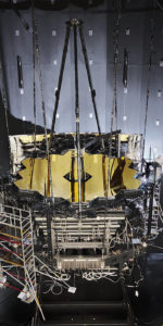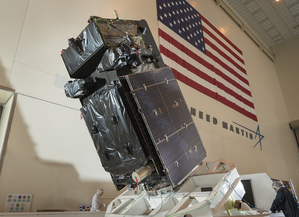
The fourth Space Based Infrared System Geosynchronous Orbit (SBIRS GEO-4) spacecraft—a crucial war fighting satellite to detect and track missile launches worldwide—recently arrived at Cape Canaveral AFS in Florida for final preparation and launch atop a ULA Atlas-V rocket as soon as January.
The $1.2 billion Lockheed Martin satellite is one of the U.S. military’s most expensive (and high priority) space assets, and was flown aboard a C-5 Galaxy aircraft from Moffett Federal Air Field in Sunnyvale, California to Florida’s Space Coast on October 31.
“SBIRS provides our military with timely, reliable and accurate missile warning and infrared surveillance information,” said Tom McCormick, vice president of Lockheed Martin’s Overhead Persistent Infrared systems mission area. “We look forward to adding GEO Flight 4’s capabilities to the first line of defense in our nation’s missile defense strategy.”
SBIRS spacecraft are directly involved in real time war fighting operations from the moment they become operational. This is because of their ability not only to deter a missile attack and help decisions on an immediate nuclear response, but also to see and warn of even small rocket powered artillery, including mortars, fired at the U.S. and allied forces in Iraq, Syria, and Afghanistan. That information is now being released to forces on a real-time basis.

SBIRS GEO-4 follows the Air Force’s GEO-3, which launched on January 20, 2017, and in March sent its first images back down to Earth.
From Lockheed, “The Air Force’s SBIRS includes a combination of satellites in GEO orbit and hosted payloads in Highly Elliptical Orbit (HEO). A robust, new ground control system serves as the nerve center for the entire constellation, collecting large amounts of data from the satellites’ powerful sensors and converting it into actionable reports for defense, intelligence and civil applications.”
The next SBIRS satellites, GEO-5 and GEO-6, are currently in production.
SBIRS’s primary mission is strategic missile warning, but the system can support a wide range of research and development projects across the field of remote sensing, which is the monitoring, observing, and gathering of information on the Earth and atmosphere from space.
“By giving researchers access to this data, our objective is for them to find new, innovative uses for improving situational awareness—whether it is for tactical military missions, natural disasters or even firefighting,” said David Sheridan, vice president of Lockheed Martin’s Overhead Persistent Infrared (OPIR) systems mission area.
.
FOLLOW AmericaSpace on Facebook!
.
Missions » SBIRS »