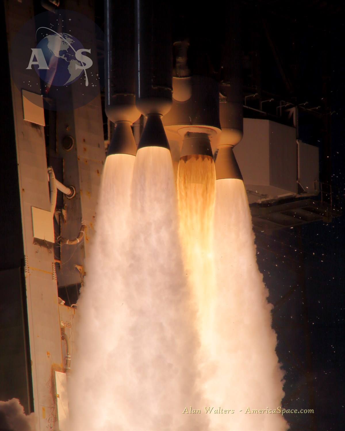
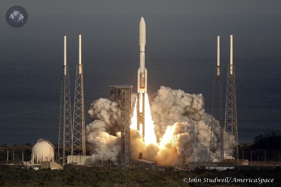
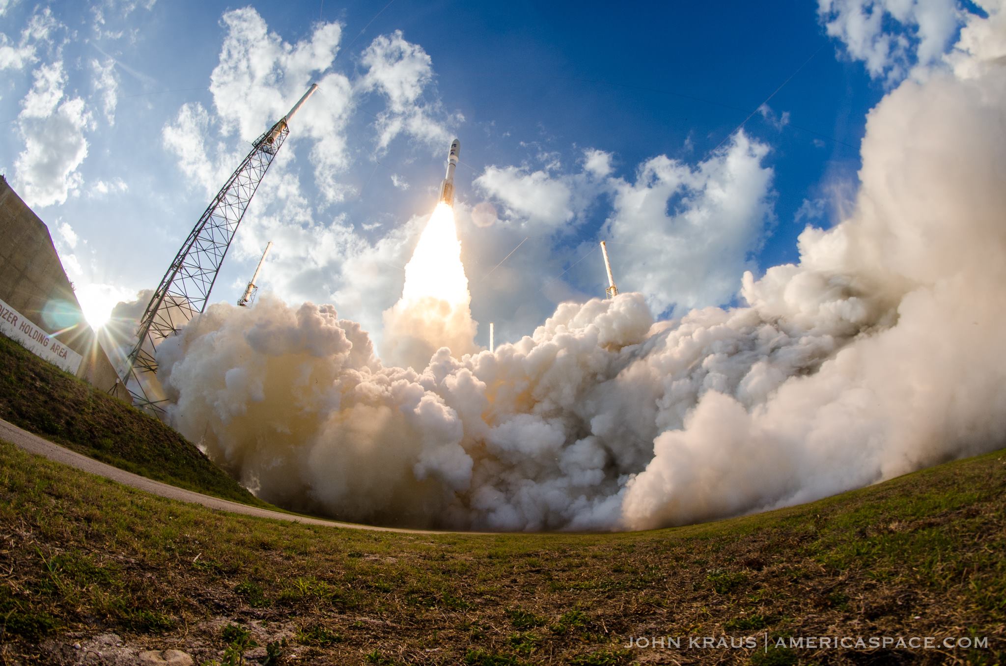
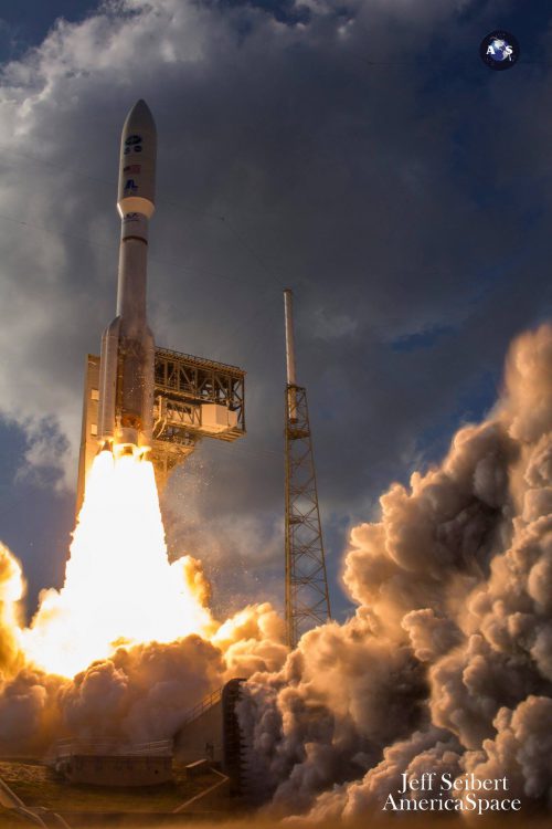
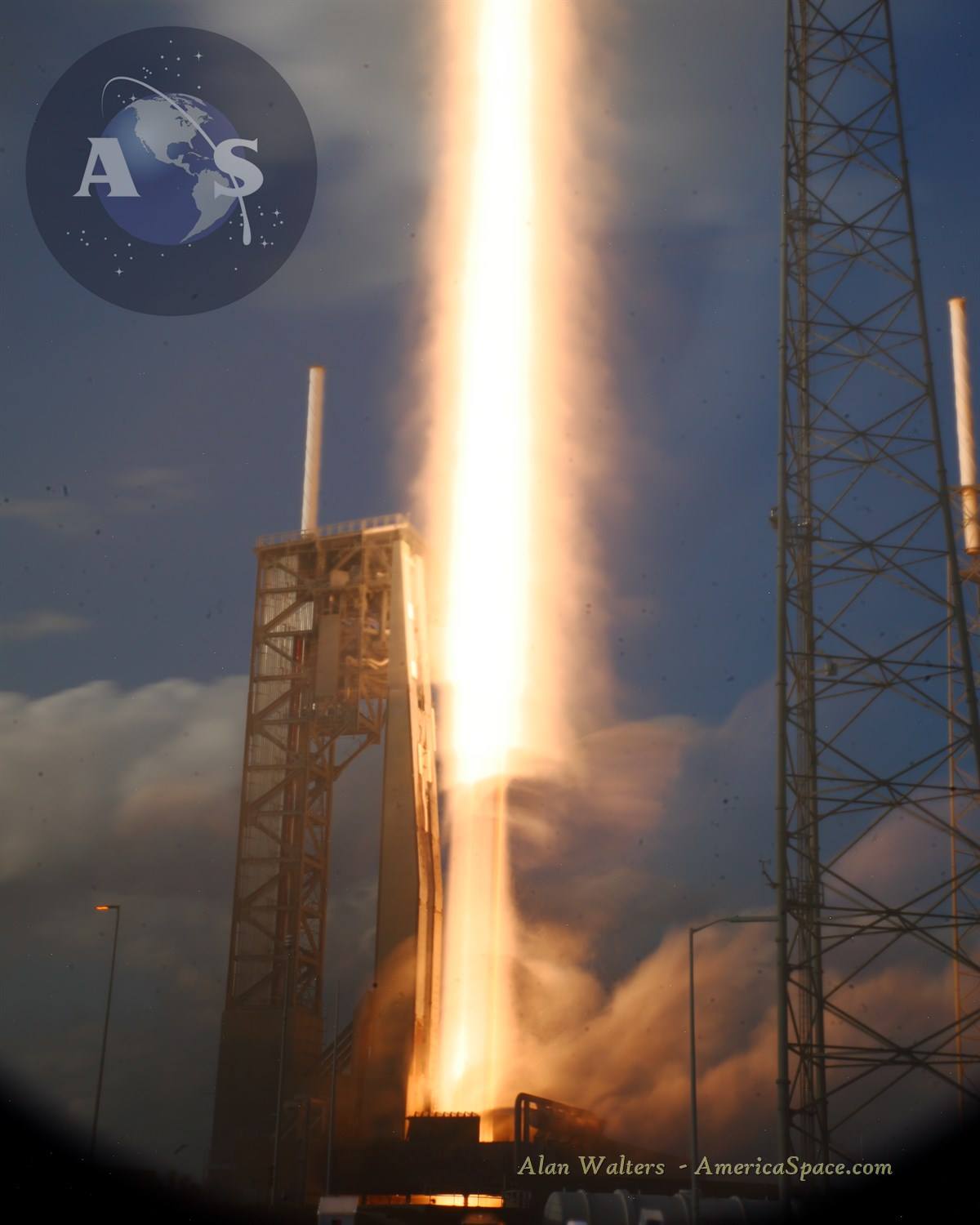
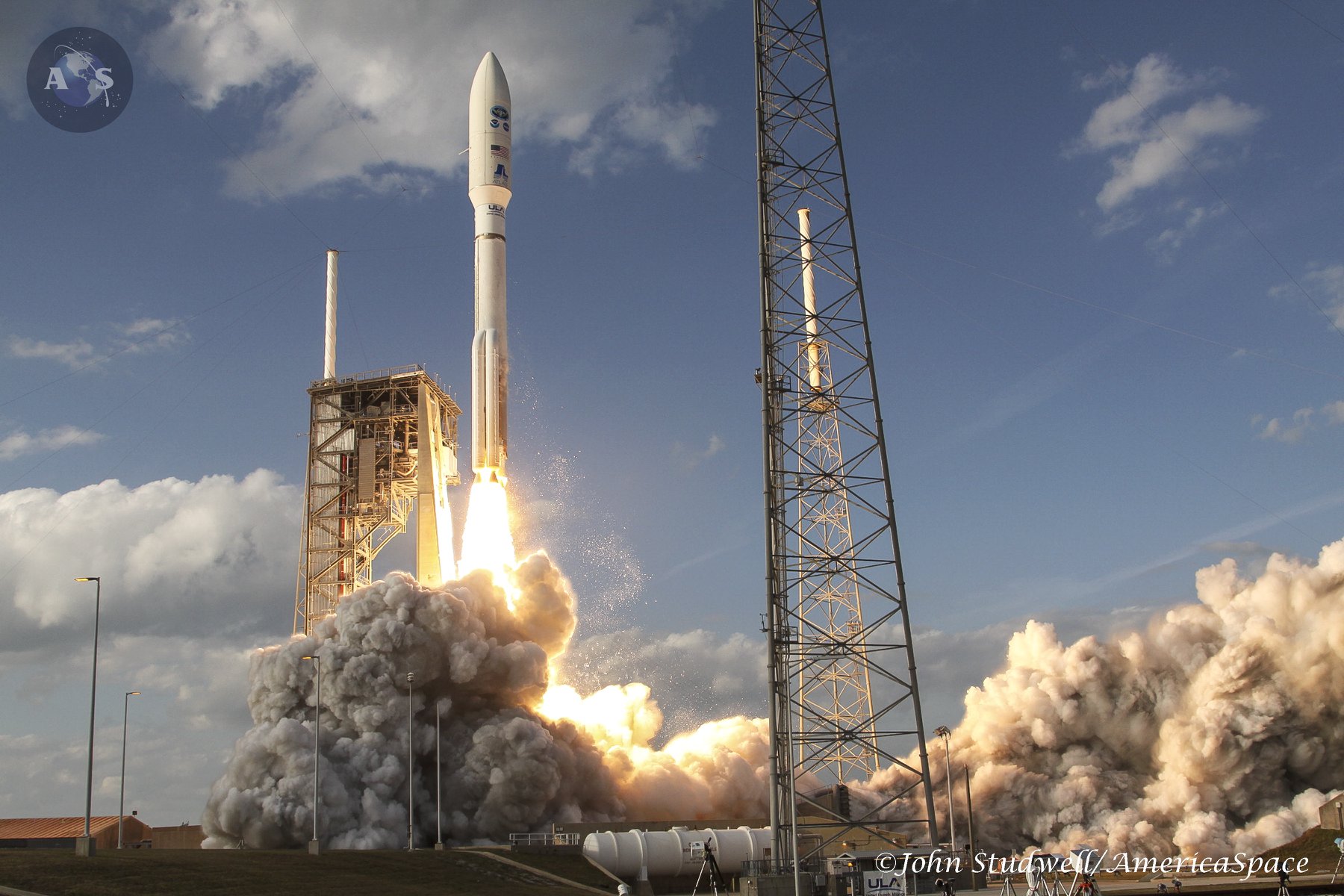
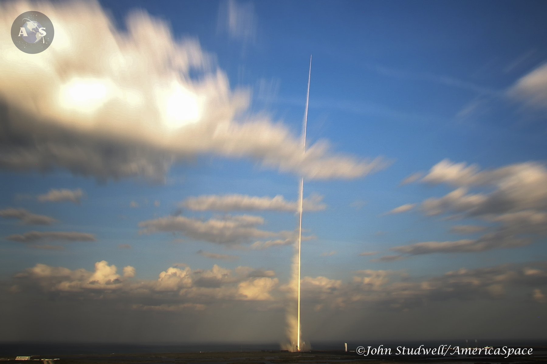
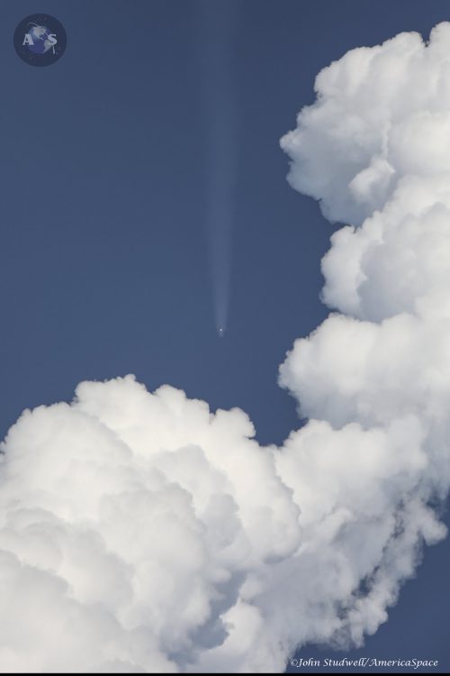
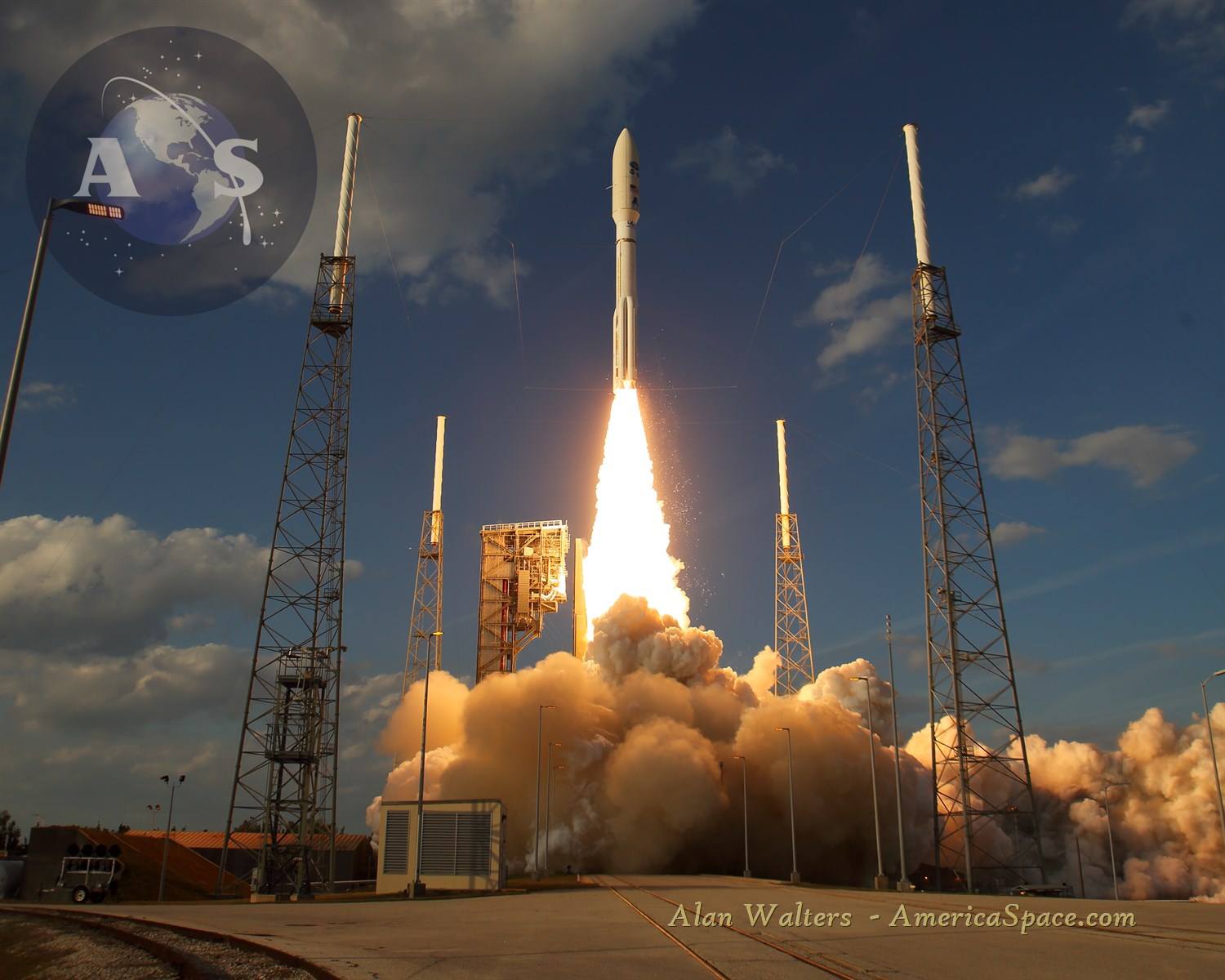
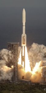
Yesterday, ULA launched their third mission of the year, aiming to deliver the nation’s next game-changing meteorological satellite to orbit on the shoulders of their mighty Atlas-V rocket. Liftoff of NOAA’s Geostationary Operational Environmental Satellite—initially known as “GOES-S”, occurred right on time at 5:02pm EST. It tracked southeast over the Atlantic atop ULA’s workhorse rocket, flying in a more powerful but rarely-used “541” configuration with four strap-on solid rocket boosters, before heading for an eventual geostationary orbit at an altitude of about 22,300 miles (35,900 km) over the Pacific Ocean to do its job.
Mission managers confirmed about four hours after liftoff, that the spacecraft’s solar arrays successfully deployed and GOES-S was operating on its own power.
“We at NASA Science are proud to support our joint agency partner NOAA on today’s launch of GOES-S, a national asset that will impact lives across the Western Hemisphere each and every day,” said Thomas Zurbuchen, NASA associate administrator for science, who attended the launch.
READ OUR IN-DEPTH REPORT ON THE LAUNCH AND MISSION HERE!
The Lockheed Martin-built GOES-S marks the second member of the fourth generation of spacecraft which have revolutionized our understanding of our home planet since the 1970s, following on from the launch of GOES-16 in November 2016.
Operated by the United States’ National Environmental Satellite, Data and Information Service (NESDIS), the multi-spacecraft GOES network is responsible for weather forecasting, storm tracking and meteorological research from geostationary orbit. The first member of the family, GOES-1, was launched in October 1975 and positioned over the Indian Ocean, returning its first image only nine days later. Over the next four decades, three generations of GOES spacecraft furnished day-and-night cloud observations and contributed significantly to the evolving science of global weather prediction and forecasting.
It became customary for each satellite to be identified via a letter of the alphabet, before launch, and renamed with a number after entering service. Consequently, GOES-S will be numerically redesignated “GOES-17” when it begins operations.
“Thank you to our partners at NASA and NOAA for the outstanding teamwork, as we delivered this next-generation satellite to orbit,” said Gary Wentz, ULA vice president of Government and Commercial Programs. “We are proud to serve as the ultimate launch provider, continuing our dedication to 100 percent mission success.”
GOES-S will provide for advanced imaging in support of better weather forecasts, as well as real-time lightning mapping and enhanced solar monitoring. The three-axis-stabilized spacecraft weighs approximately 6,170 pounds (2,800 kg) and represents a quantum leap in capability above its predecessors, boasting three times more spectral information, four times higher spatial resolution, five times faster coverage, and significantly enhanced functionality in providing advance warnings of storms, tornadoes, hurricanes, and solar-induced events, ranging from geomagnetic storms to Coronal Mass Ejections (CMEs).
With GOES-16 also designated “GOES-East”, positioned at 75.2 degrees East longitude and responsible for monitoring the United States’ eastern seaboard and the breadth of the Atlantic Ocean, the new GOES-S will take up the “GOES-West” spot at 137 degrees West longitude. Renamed “GOES-17” when it enters operational service, the new satellite will cover the western United States, together with Alaska and Hawaii, collecting imagery every 30 seconds and providing detailed atmospheric measurements to monitor weather patterns and severe storms. It will also track lightning, wildfires, dense fog and other hazards which frequently impact the western seaboard.
Better, faster data means more reliable forecasts, and gives appropriate authorities earlier warning to understand where a problem is, such as a wildfire just starting and rapidly intensifying, which could lead to saving lives. Devastating wildfires consume the western U.S. each year, GOES-S will save lives by knowing where wildfire hotspots are occurring earlier than ever before.
“We’ll soon see the value of having two sophisticated geostationary satellites in operation, not only in the amount of lives saved through more accurate forecasts, but in cost savings throughout the economy,” said Stephen Volz, Ph.D., director, NOAA Satellite and Information Service. “With GOES-S and GOES-16, we are able to cover about half the planet with the most sophisticated weather forecast technology ever flown in space.”
In 2017, several catastrophic wildfires in California burned more than one million acres of land across the state, killing several people and leaving thousands homeless having lost nearly everything.
“Thanks to high-resolution imagery from GOES-16, including red-green-blue thermal infrared imagery used to detect fire hot spots, forecasters at the National Weather Service were able to locate fires more quickly, and coordinate warnings with local emergency managers that helped save lives,” says NOAA. “In some cases, satellite imagery helped detect fires before 911 calls began to come in. GOES-S will provide a “second set of eyes” over the western U.S., and provide new wildfire monitoring capabilities where it is currently lacking, especially in Alaska.”
GOES-S carries three types of instruments. Its “Earth-facing” suite consists of the Advanced Baseline Imager (ABI) for visible and infrared observations of our planet’s weather and climate, enabling storms to be tracked in their early stages and the Geostationary Lightning Mapper (GLM) for continuous, day-and-night measurements of intra-cloud lightning associated with severe storms. It is hoped that their combined data will improve warning times ahead of tornadoes, as well as aiding the development of climatological models, thunderstorm warnings, and improving aviation weather services.
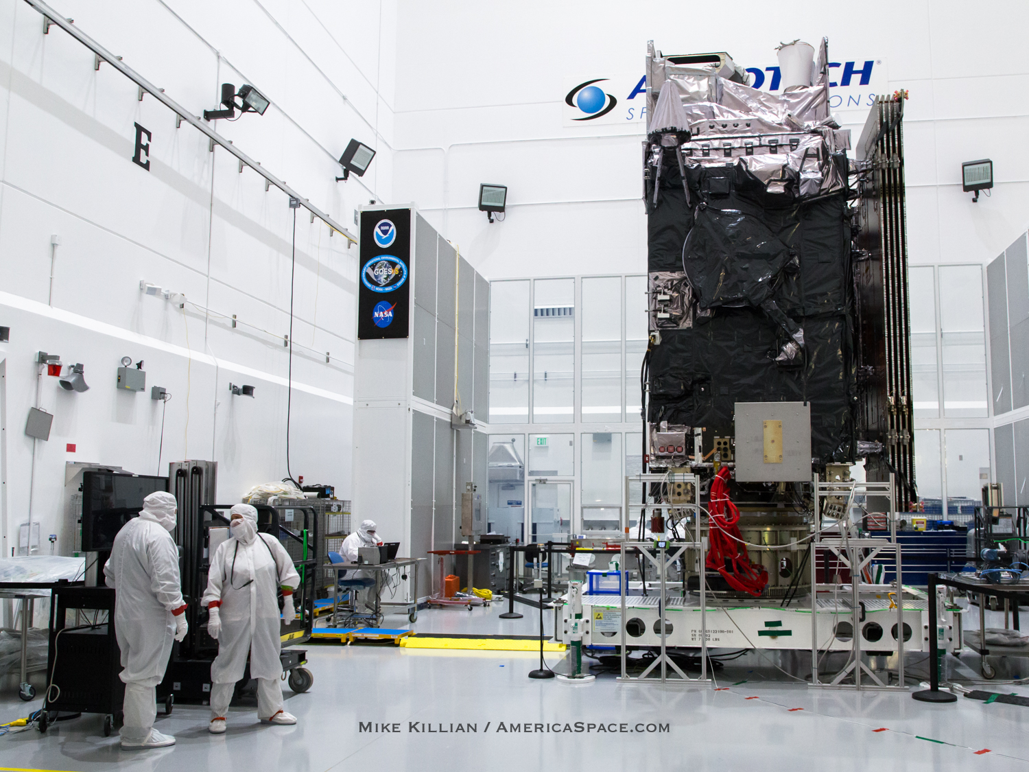
Its “Sun-facing” instruments are the Solar Ultraviolet Imager (SUVI) and the Extreme Ultraviolet and X-ray Irradiance Sensors (EXIS) for extreme-ultraviolet and X-ray analyses of our parent star’s active regions, including solar flares and filaments, which precipitate the emergence of CMEs. Since these dramatic events can have dire implications upon Earth’s communications and navigational capabilities—as well as orbiting satellites and crews aboard the International Space Station (ISS)—early warnings are paramount.
Finally, the third set of instruments are “Space-facing” and comprise the Space Environment In-Situ Suite (SEISS) and the Magnetometer (MAG) to observe proton, electron, and heavy-ion fluxes at geostationary altitude. In addition to assessing radiation hazards for humans and satellites at this altitude, these instruments will improve solar energetic particle forecasts and provide a better understanding of the dynamic conditions in Earth’s outer magnetosphere.
“The GOES-R Series of satellites will save lives and property every year, particularly in areas prone to severe storms like hurricanes and tornadoes,” said Eileen Drake, Aerojet Rocketdyne CEO and president. Aerojet not only provided the Atlas V’s RL10C-1 upper-stage engine, but also pressurization tanks and various controlling thrusters for both the rocket and GOES-S too, as well as the four 67-foot long AJ-60A solid rocket boosters (SRB) strapped to the Atlas V, providing an additional 348,500 pounds of liftoff thrust.
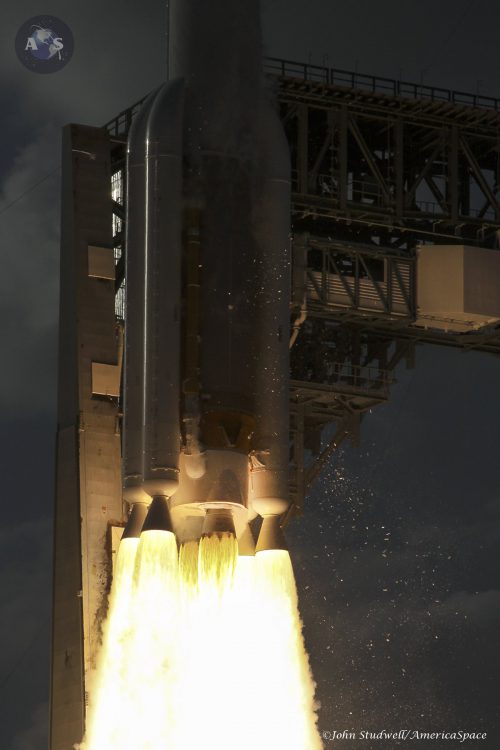
Not only that, but the launch marked the flight of the 100th AJ-60A SRB. “What’s important to note about this milestone is that it was reached with 100 percent mission success,” Drake said.
“The Department of Commerce and NOAA are making good on our commitment to position the most sophisticated technology available in space to provide rapid, accurate, life-saving weather forecasts,” said Secretary of Commerce Wilbur Ross. “Along with its easterly partner GOES-16, GOES-S will help communities and businesses prepare for potentially dangerous weather events and minimize the hazard to American families and economies.”
Looking ahead, positioned in a geostationary orbit 22,300 miles above the Earth, after approximately two weeks, it will be renamed GOES-17, and after undergoing a full checkout and validation of its six high-tech instruments, the new satellite will move to the GOES-West position and become operational for around a decade of service.
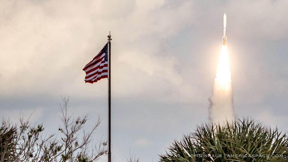
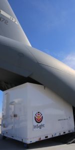
As for ULA, their busy 2018 is just getting started. They have six more Atlas V flights manifested this year to deliver three military communications satellites to orbit, NASA’s InSight lander towards Mars—marking the first voyage to the Red Planet staged out of Vandenberg Air Force Base, Calif.—and the initial unpiloted and crewed missions by Boeing’s CST-100 Starliner vehicle.
Additionally, ULA has many as four more Delta launches this year too, including the final flight of the workhorse Delta II and not one, but two missions by the gigantic Delta IV Heavy to loft NASA’s Parker Solar Probe and the classified NROL-71 payload. All told, ULA aims to fly as many as 13 times in 2018, tying with 2007, but falling shy of it peak 16 launches in 2009 and 14 launches in 2014.
ULA’s next launch is the AFSPC-11 mission for the U.S. Air Force on an Atlas V rocket from Florida, currently slated to launch in mid April.
A few more shots / video from our team below:
NOAA manages the GOES-R Series Program through an integrated NOAA-NASA office, with personnel from both agencies. NASA’s Goddard Space Flight Center oversees the acquisition of the GOES-R spacecraft and instruments. Lockheed Martin is responsible for the design, creation, and testing the GOES-R Series satellites and for spacecraft launch processing. Harris Corp. provides the main instrument payload, the Advanced Baseline Imager, along with the ground system, which includes the antenna system for data reception.
– Article written by Ben Evans and Mike Killian
.
FOLLOW AmericaSpace on Facebook!
.
Missions » GOES-R »


Beautiful image, great work John!
Thanks for the reminder.